High-end survey, GIS and Remote Sensing services that turn spatial data into actionable intelligence.
Surveying Services Offered
Cadastral Surveying
Our GIS Services:
Our geospatial experts ensure data-driven precision in every project, enabling smarter planning and sustainable outcomes.
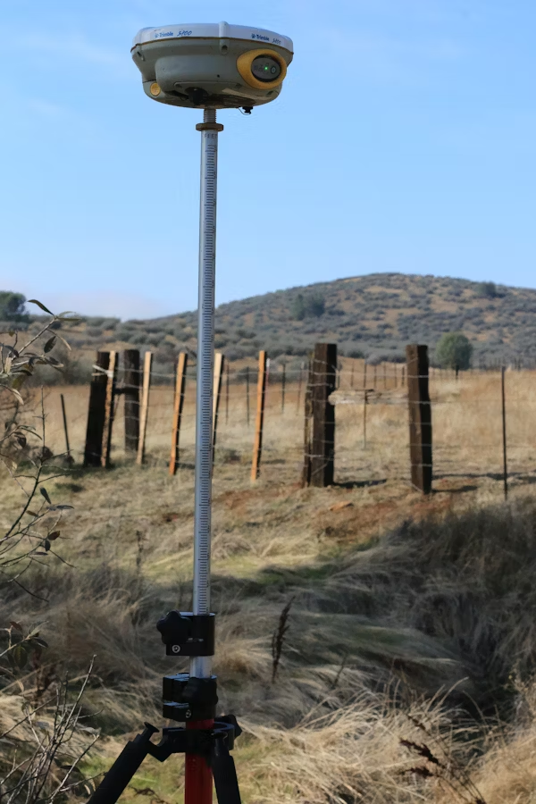
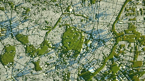
High-end GIS and Remote Sensing services that turn spatial data into actionable intelligence.
We support land management, environmental monitoring, infrastructure planning, and policy development through:
Our geospatial experts ensure data-driven precision in every project, enabling smarter planning and sustainable outcomes.
Our architectural division delivers functional, aesthetic, and environmentally conscious designs that transform ideas into enduring structures.
We offer:
Urban and Regional Planning services that foster orderly, equitable, and sustainable growth. We help shape communities that are efficient, livable, and environmentally conscious.
We specialize in:
Comprehensive real estate advisory and management solutions that enhance investment value and asset performance.
Our services include:
GeoVista engineers deliver innovative and reliable infrastructure solutions that drive connectivity, growth, and resilience.
Our capabilities include:
Our Environmental Planning Unit ensures that development initiatives are sustainable, resilient, and compliant with national and international environmental standards.
We specialize in:
Why GeoVista Group
WhatsApp us